
This page is part of © FOTW Flags Of The World website
Morelos, Mexico
Estado Libre y Soberano de Morelos
Last modified: 2013-08-03 by juan manuel gabino villascán
Keywords: mexico | morelos | zapata (emiliano) | morelos (josé maría) |
Links: FOTW homepage |
search |
disclaimer and copyright |
write us |
mirrors
See also:
Presentation of Morelos
- Official name: Estado Libre y Soberano de Morelos / Free and
Sovereign State of Morelos
- Short-form names: Estado de Morelos / State of Morelos; Morelos.
- Location: The third smallest Federal Entity, above of Distrito Federal
and Tlaxcala and featured by its mythic archeologyc places, and its sound climate,
Morelos is a landlocked State located Center-South of Mexico.
It is surrounded by the States of
México (W. and NE), Puebla (E),
Guerrero (S),and the Distrito Federal (N).
- Area: 4,950 km2
- Municipalities: 33
- Population: 1'555,296 inhabitants (2000)
- Capital: Cuernavaca (Pop.: 338,706 [2000])
- Statehood: April 17, 1869
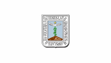
- Arms adopted: Unknown date.
INEGI and SEP
.gif)
by
Gobierno del Estado de Morelos, May 22, 2011.
Pantone colors:
|
Color
|
PMS
|
CMYK
|
|
Blue
|
544 c
|
30 60 0 0
|
|
Brown
|
1615 c
|
0 56 100 45
|
|
Beige
|
4655 c
|
0 26 45 18
|
|
Gold
|
122 c
|
0 17 80 0
|
|
Green
|
363 c
|
30 60 0 0
|
|
Black
|
Black 100% c
|
50 50 50 100
|
Gobierno del Estado de Morelos, May 22, 2011.
Anything below
this line was not added by the editor of this page.
![[Design is an acceptable variant]](../misc/fis_vari.gif)
![[State flag]](../misc/xoxxxx.gif)